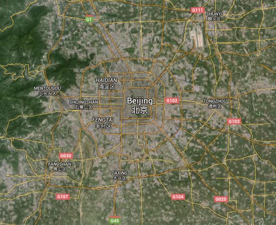
In this satellite picture, the grey shows the urban areas and the green shows trees and countryside. We can see the centre of the city is grey and very densely populated and that as you move out from the centre the grey becomes quite patchy and there is more greenery. From the green on the left side of the picture we can see that area has a very low density population.